


The Local Government Area
The Local Government Area is 20km west of the Sydney central business district and covers 72km2.
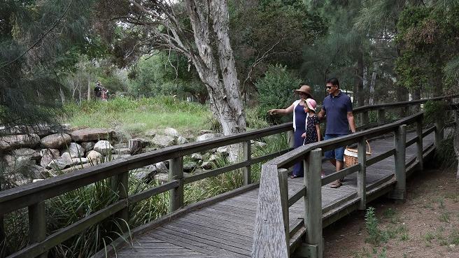
It stretches 16km from the Rookwood Necropolis in the east to Reconciliation Road in Pemulwuy to the west. It’s a highly urbanised landscape with residential, commercial and industrial areas dissected by road and rail infrastructure.
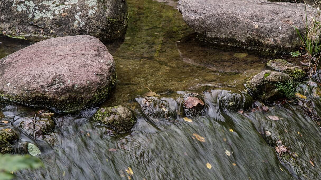
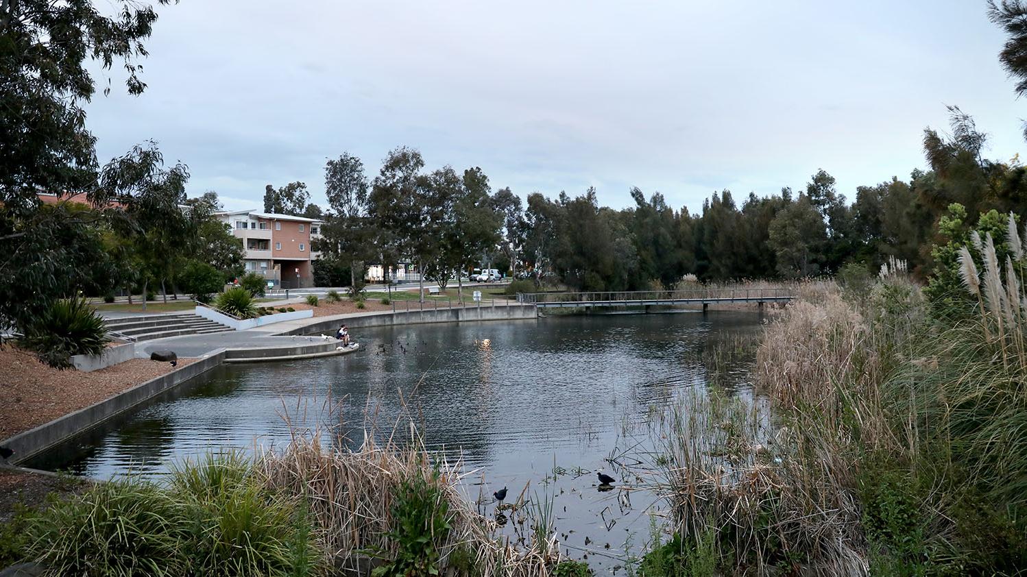
Many waterways, green patches of bushland, parks and reserves form important ecological corridors in the area. The main ecological corridors run along:
- Duck River (north-south)
- East-west along Prospect Creek
- The regional cycleway through Greystanes and Merrylands West
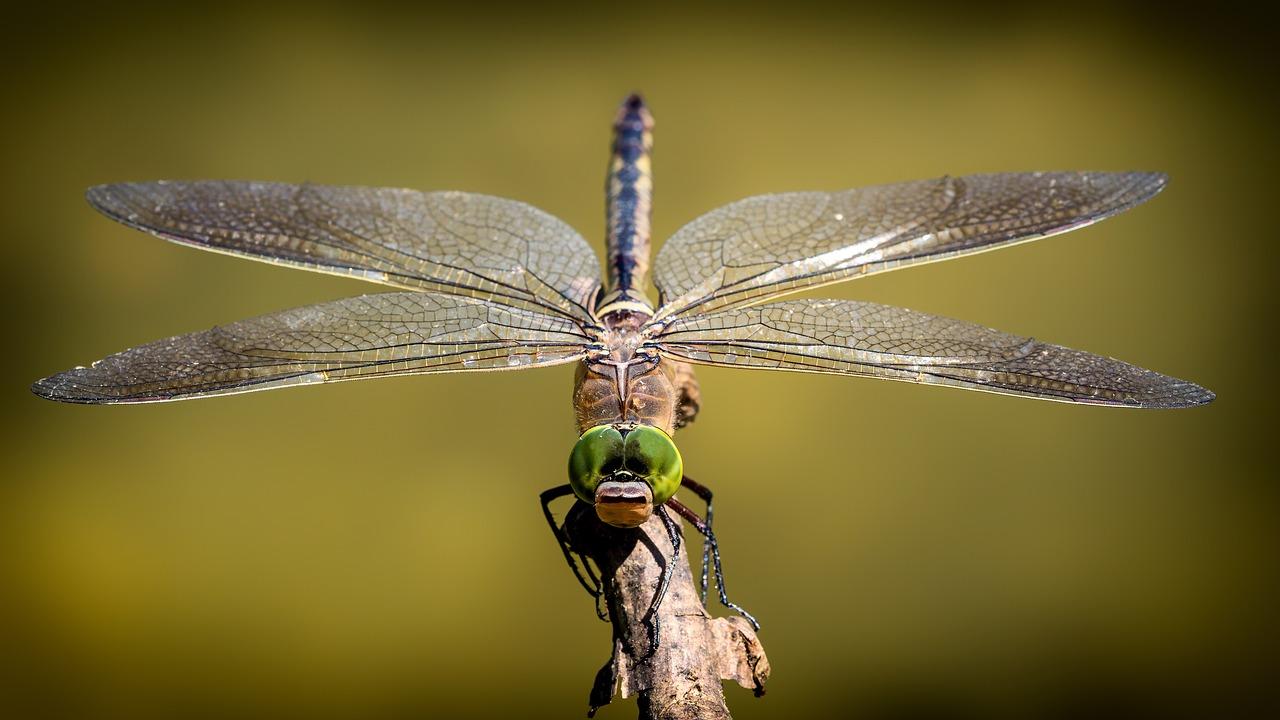
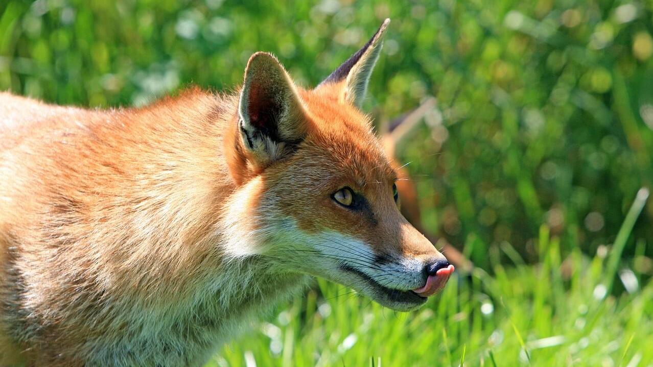
Cumberland is home to 13 threatened flora species, 14 threatened fauna species and 10 threatened ecological communities.
Learn more about our environment
Further information
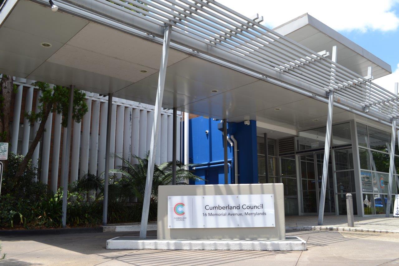
For more information contact us on 02 8757 9000.