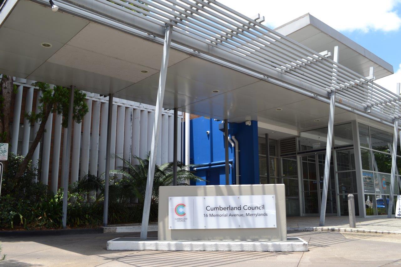


Cumberland Council has prepared a planning proposal to amend Holroyd Local Environmental Plan (LEP) 2013 in relation to the Neil Street Precinct within the Merrylands City Centre.
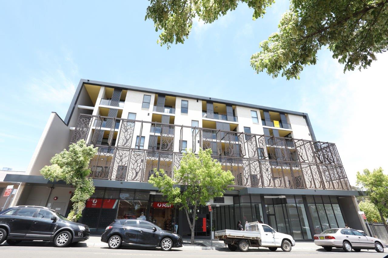
The Neil Street Precinct includes the area bounded by Pitt Street, Holroyd Gardens, the railway corridor and Terminal Place as well as identified lots to the west of Pitt Street.
The planning controls to be amended are the land use zones, the maximum building height and the maximum floor space ratio (FSR). The planning proposal also includes a Land Reservation Acquisition Map to facilitate the provision of essential infrastructure within the Precinct. Within the proposed land use zones, a new area Zoned B6 Enterprise Corridor is proposed to include Commercial Premises as an additional permitted use (APU).
To support the proposed amendments to Holroyd LEP 2013, an amendment to Holroyd Development Control Plan (DCP) 2013 is also proposed, to provide more detailed planning controls for the Precinct.
The community consultation period for the planning proposal and proposed DCP amendment has now ended and the matter will be reported to Council in the coming weeks.
The planning proposal, draft development controls, and associated documentation can be viewed below:
Key Maps
- Land Use Zoning
- Floor Space Ratio
- Height of Buildings
- Land Reserved for Acquisition
- Additional Permitted Use
- Draft Development Control Plan
Supporting Documentation
- Neil Street Precinct Urban Design Review
- Neil Street Precinct Flood Study
- Council Report 15 July 2014
- Council Report 20 October 2015
For further information please contact Council’s Strategic Planning Unit on 02 8757 9000.